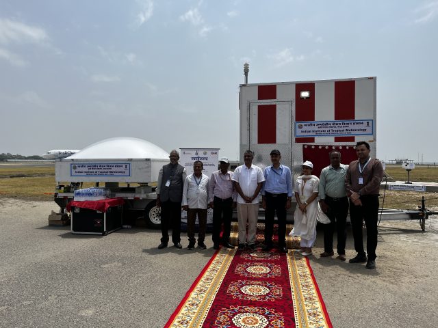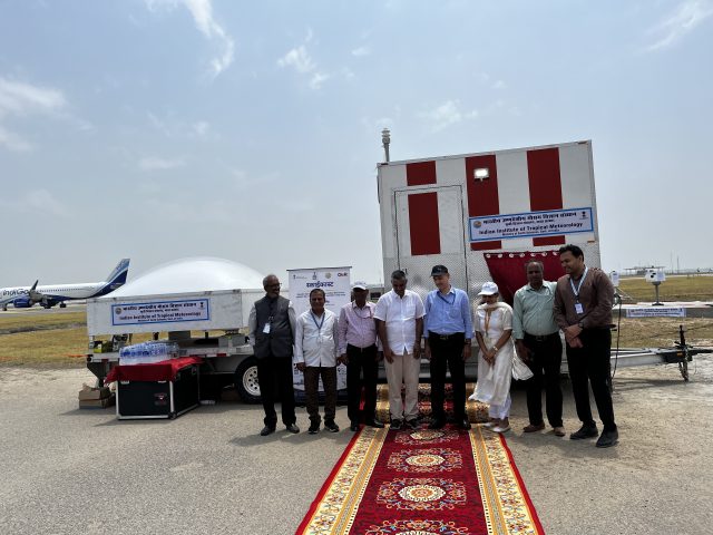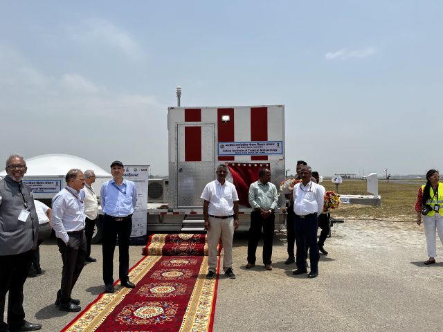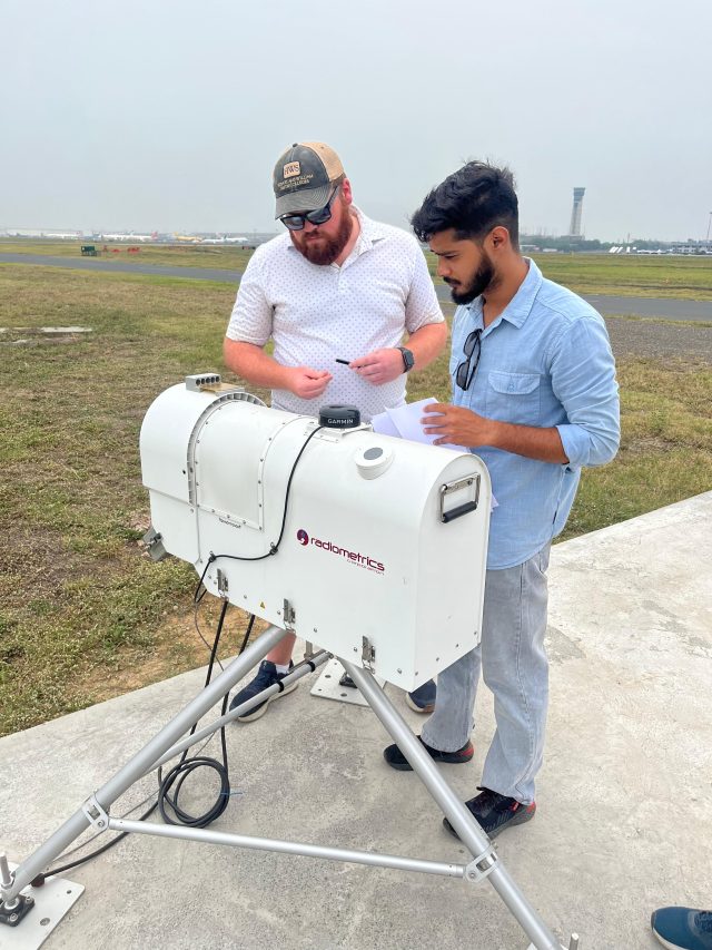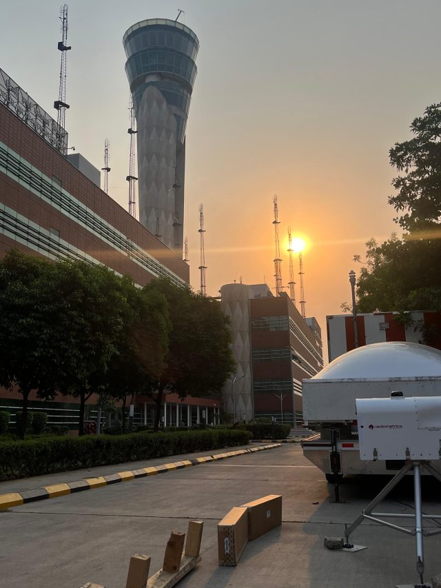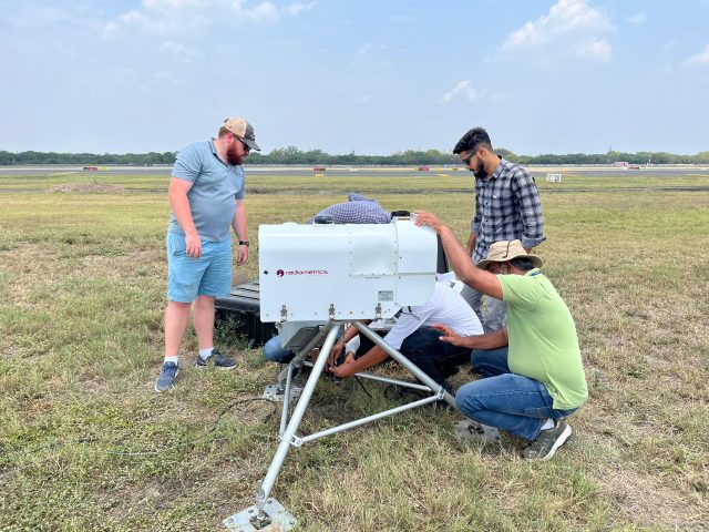
Wind Profiler
Continuous low-level wind fields and vertical wind shear.
IITM Pune · Ministry of Earth Sciences
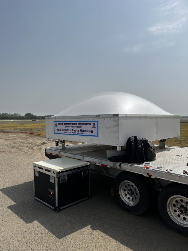
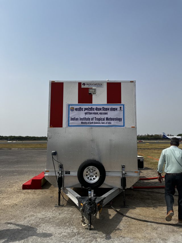
Operated by Indian Institute of Tropical Meteorology, Pune,
Ministry of Earth Sciences, Government of India
Know the instrument
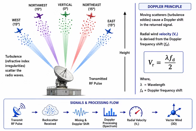
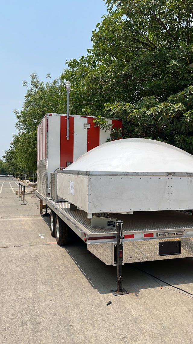
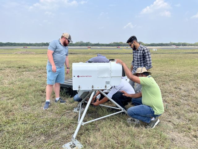
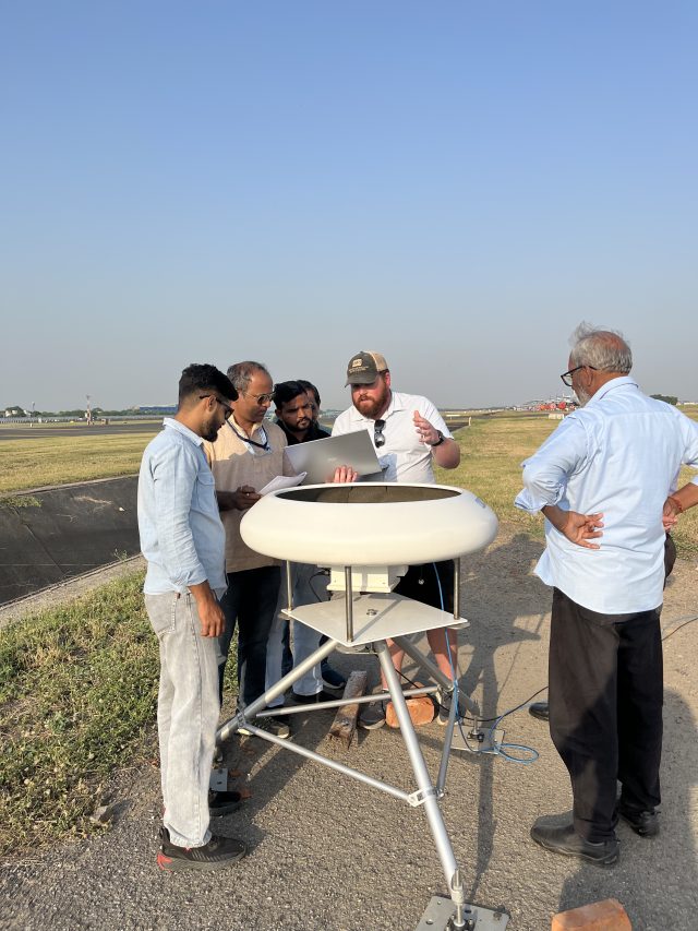
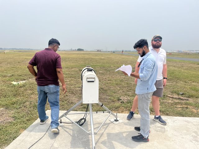
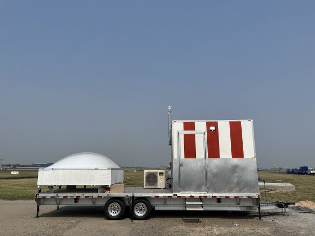
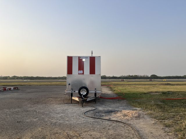
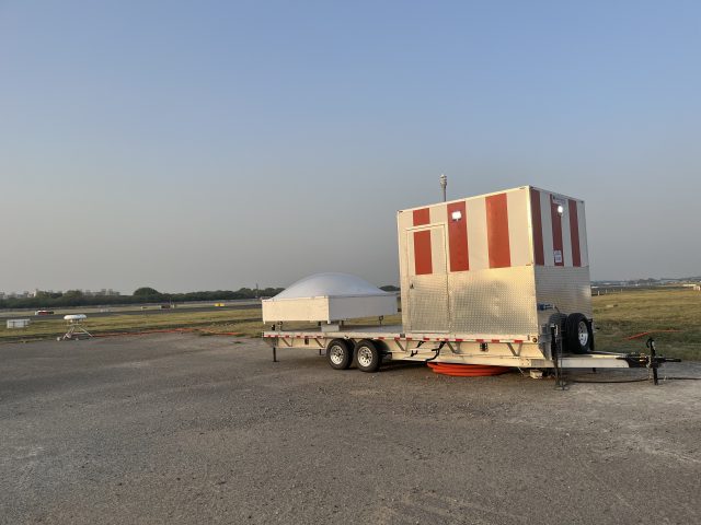
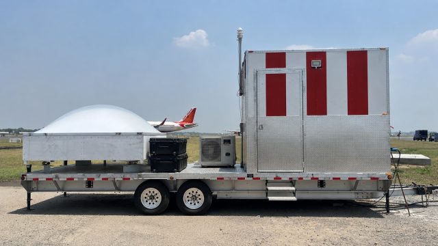
The SkyCast system integrates observations from the wind profiler, microwave radiometer, SODAR, and surface meteorological sensors to provide continuous monitoring of the atmospheric boundary layer (ABL). By combining remote sensing and in-situ measurement, it captures the temporal evolution of low-level wind fields, temperature structure, turbulence characteristics, boundary-layer stability, inversion layers, low-level jets, and vertical wind shear.
These observations enable detailed investigation of the boundary-layer processes governing momentum, heat and moisture transport — from diurnal transitions and nocturnal stable layers to elevated inversions and turbulence evolution under varying synoptic and local forcing.
Advanced retrieval algorithms derive wind shear magnitude, inversion strength and depth, mixing-layer height, and thermodynamic stability indices, supporting research on fog formation, air quality dispersion, urban meteorology, and the validation of numerical weather prediction schemes.
Multi-sensor system
Continuous low-level wind fields and vertical wind shear.
Temperature structure, inversions and thermodynamic stability.
Turbulence characteristics and low-level jets near the surface.
In-situ measurements that anchor the remote-sensing profiles.
Live SkyCast Dashboard
The live data portal is served separately from the Tropmet observation network.
Gallery